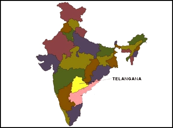
The newly formed 29the state of India, Telangana is yet to be reflected in the official geographical and political map. But Telangana Vidyavanthula Vedika [Educated &Scholars Association] has unveiled the Telangana slot in the Indian map in a private event today.
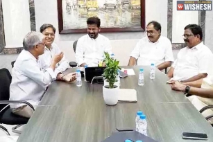
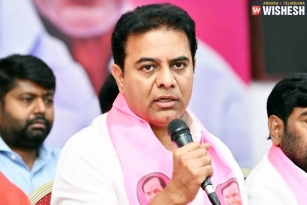
Telangana Joint Action [T-JAC] chairman Prof Kodandaram, Mallepally Laxmaiah and senior journalists Chandramurthy participated in the event. Speaking on the occasion, Kodandaram said, “Telangana is placed in between to the states of Maharashtra, Madhya Pradesh, Karnataka, Chattisgarh. Trade factor will improve Telangana's growth and also Transport will play crucial role.”
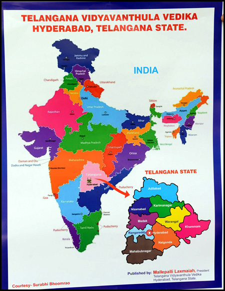
However Survey of India officials say that it would take some for the new state to get a slot in the official Indian map as the Ministry of Home Affairs [MHA] is yet to give details of the boundaries. One of the official said, as few mandals are merged into the Andhra Pradesh region, MHA is likely issue the boundaries details in couple of days and Survey of India, the official national survey and mapping organisation of the country will work with Department of Science and Technology.
Sources in the School Education Department said this year all the text books in Telangana will also have syllabus of Andhra Pradesh (undivided) as they were printed much earlier.
(AW: Vamshi)


