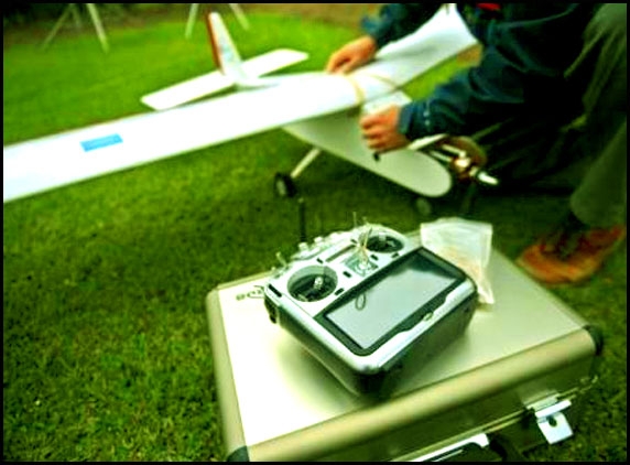
Drones are frequently associated accompanying destructions in remote regions of Pakistan and Yemen yet in Peru, unmanned aircraft are being used to monitor crops as well as study ancient ruins. Forget Reapers and Predators - the drones used here are hand-held contraptions that look like they were assembled in a garage with gear from a hardware store. In fact, they are equipped with a microcomputer, a GPS tracker, a compass, cameras and an altimetre, and can be easily programmed by using Google Maps to fly independently and return to base accompanying vital data. Mr Andres Flores, an electrical engineer in charge of the UAV programme at Peru's Catholic University said these aircraft are small in size, are equipped with high-precision video or photo cameras and go virtually unnoticed in the sky.
That's certainly a great innovation in monitoring crops as well as studying ancient ruins.
(AW:Samrat Biswas)


