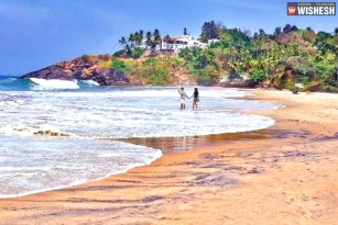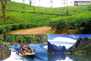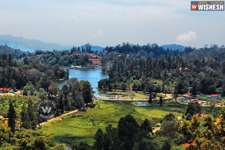
Kodaikanal is a city in the hills of the Dindigul district in the state of Tamil Nadu, India. Kodaikanal is located on a plateau above the southern escarpment of the upper Palani Hills at 2,133 metres above sea level. Kodaikanal hills form the eastward spur of the Western Ghats on the Western side of South India. North of the town, slopes down into the villages of Pallangi and Vilpatti. East of the hill slopes less into the lower Palanis. On the west is a plateau leading to Manjampatti Valley, the Anamalai Hills and the main body of the Western Ghats.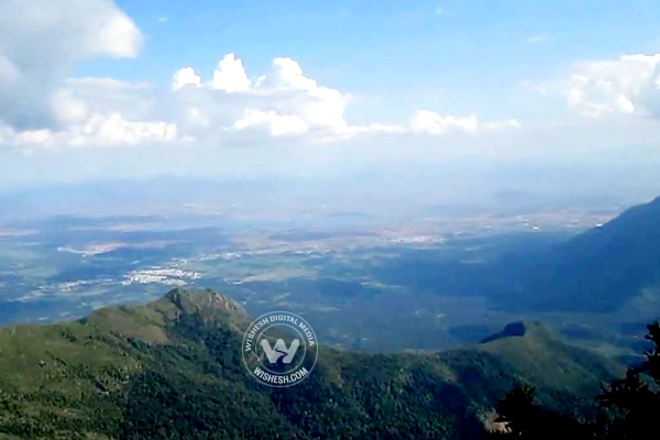
How to reach
All the distances from Kodaikanal are calculated with the lake as the central point of reference.
Air
The nearest airports, Madurai is around 135 KM, Coimbatore is around 170 KM and Trichy is around 200 KM.
Rail
The nearest railway stations, Palani Station is around 64 KM north, Kodaikanal Road Station is around 80 KM south east and Dindigul Junction is around 100 KM east.
Bus
Buses are available from the Madurai Aarappalayam bus stand. The first bus in the morning leaves at 2:30 AM and there are no buses after 5 PM in the evening.
Road
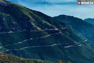
The 2 to 3 hours drive to Kodaikanal via the steep and winding Ghat roads from Batlagundu or Palani is mind blowing and a memorable experience. Travellers can stop at turnouts on the road and enjoy the scenic beauty of the Palani Hills. There is also a 28 km shortcut from Periyakulam to Kodaikanal via Kumbakarai.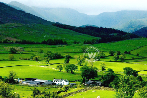
History
The earliest residents of Kodaikanal were the Palaiyar tribal people. The earliest specific references to Kodaikanal and the Palani Hills are found in the Tamil Sangam literature of the early Common era.
Kodaikanal Hill Station is developed by the Americans. During 1821, Lieutenant B. S. Ward, a British surveyor, was the first European to visit Kodaikanal, while looking for a healthy place to live.
The early visitors to Kodaikanal, travelled by horse, bullock cart or palanquin. The forest was infested by robbers and wild animals. It became very popular with the elite families, because of the wonderful climate and clean air.
In 1834, the Collector of Madurai climbed up from Devadanapatti and built a small bungalow at Kodaikanal. In the second half of the 19th century, churches and other colonial structures started popping up.
In 1863, Sir Vere Hendry Levinge, the Collector of Madurai, created the 60 acres Kodai Lake by damming three streams flowing through. A boat club was formed in Kodaikanal in 1890. Since May 1929, the club has permitted tourists to join the club as temporary members and avail of boating facilities.
Many of the ruling princes built summer holiday-homes. Kodaikanal developed slowly, but steadily. The extension of the railway line from Chennai to Tirunelveli (598 KM) made Kodaikanal accessible and popular. A station was built at Ammainayakkanur around 80 KM from Kodaikanal. The first steam engine arrived in 1875. Road construction was completed in 1914, but was opened to the public only two years later in 1916 and general public and tourists started flocking the area in large numbers.
Places of Interest
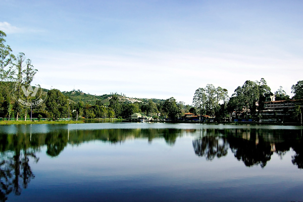
The Lake: The 24-hectare lake skirted by a 5 km long black tar road, is the focal point in Kodai. This lake was created in 1863 by Sir Vere Hendry Levinge (1819-1885). He constructed the bund to form a lake and stocked the lake with fish.
Bryant's park: This park is situated on the eastern side of the lake. It is noted for its flowers, both hybrids and grafts. Cut flowers are exported from here. A glass house which shelters different varieties of flowers can be seen here. The Flower Show is conducted every year during May, as part of the Summer Festivals.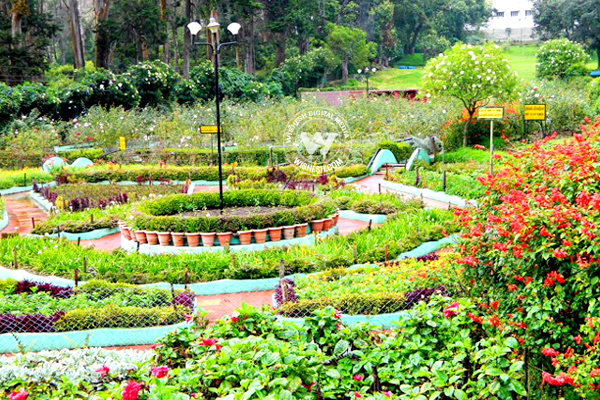
Green Valley View: It is located around 5 kms from the Kodaikanal lake and close to the golf club. You can have a magnificent view of the Vaigai dam from here.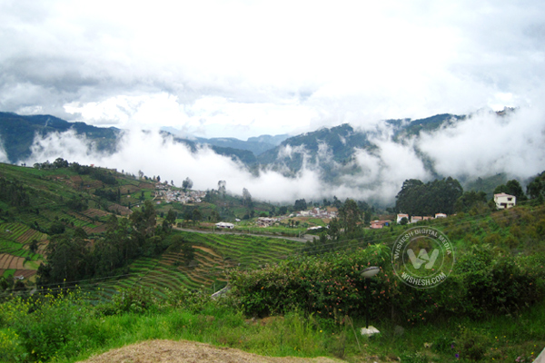
Pillar Rocks: There is a set of 3 rocks which stand 122 metres high. It is located around 7 kms from Kodai lake.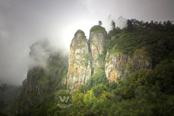
Coakers Walk: Er. Coaker identified this hill-edged pathway in 1872. It is about a KM from the lake, Coaker's Walk runs along a steep slope on the southern side of Kodaikanal. You can have some of the best views of the plains from here.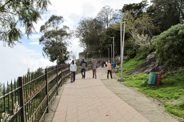
Kurinji Andavar Temple: The temple is situated around 3 kms from the lake and is a famous shrine dedicated to Lord Muruga. This temple is associated with the Kurinji flowers that bloom once in 12 years. Kurinji means the hilly region in Tamil literature and Andavar means god. Therefore, Lord Muruga is referred to as the God of the Hill. From this temple you can have a distant view of Palani and Vaigai Dam.
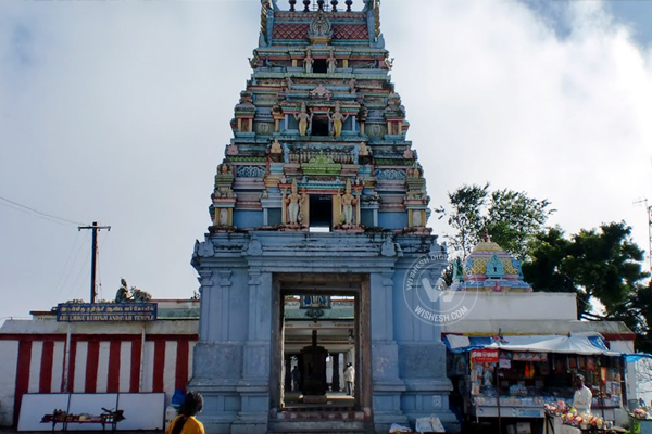
Moier Point: IT provides a lovely view of the valley. It is just 3 kms from the Pillar rocks Berijam Lake road.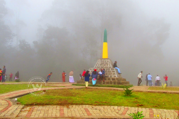
Silent Valley View: In the Pillar Rocks and the Berijam Lake Road, is the Silent Valley View, which provides a breathtaking view of Silent Valley.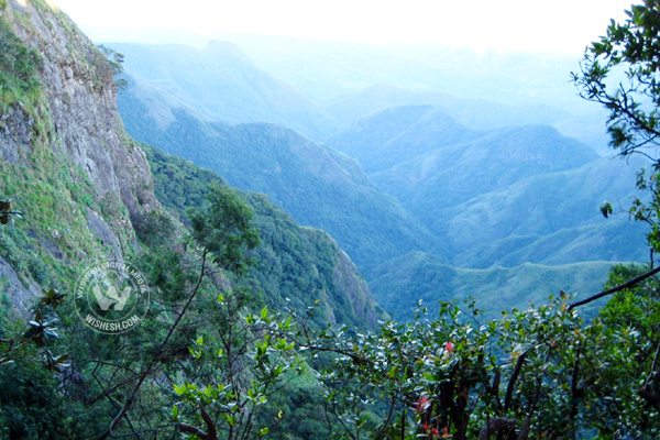
Berijam Lake View: You can have a panoramic landscape view of Berijam Lake. This is 19 kms from Kodaikanal Lake.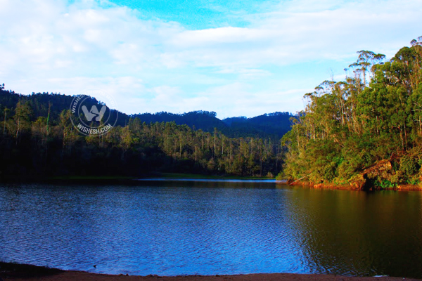
Chettiar Park: The Chettiar park is a charming place in the northeastern corner of the town on the way to the Kurinji Andavar temple.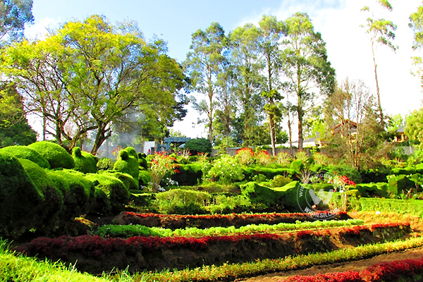
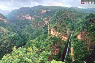
Silver Cascade: It is 8 kms from Kodai lake. The overflow of Kodai Lake comes down here as a 180 foot high waterfall.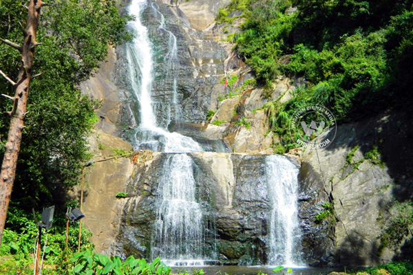
Dolmen Circle: It is located at a distance of 18 kms from the lake, pre-historic remains can be seen here. Original burial urns were unearthed in this region during archaeological excavations.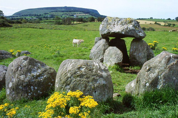
By Premji


